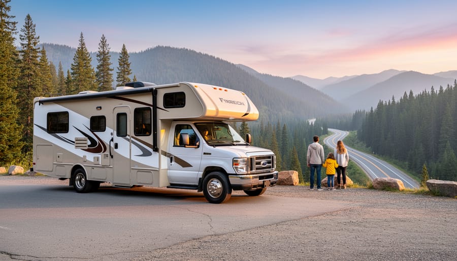
The right combination of road trip apps can turn a chaotic multi-park journey into a smooth, money-saving adventure, and after testing dozens of tools on our own family trips across Western parks this year, we’ve narrowed the field to eight that actually solve the problems RV families face. Most generic travel apps fall apart when you’re navigating a 32-foot motorhome through mountain switchbacks or searching for last-minute campsites near Yellowstone during peak season.
We know this because we’ve been there: staring at a phone with no signal outside Bryce Canyon, realizing our route planner just sent us down a road our rig can’t handle, or arriving at a “campground” that turned out to be a parking lot with zero hookups. The apps that made our final list earned their spots by handling the specific challenges of national parks travel. They helped us find RV-friendly sites when everything looked booked, alerted us to road closures before we wasted hours backtracking, calculated fuel costs for our actual rig size, and worked offline when cell service vanished.
This roundup cuts through the noise. You’ll get our tested verdicts on each app, a side-by-side comparison of features that matter for park-hopping families, and the selection criteria we used to separate truly useful tools from pretty interfaces that don’t deliver. Whether you’re planning your first parks loop or your tenth, these apps will help you spend less time troubleshooting logistics and more time watching your kids’ faces light up at their first glimpse of Half Dome.
Our Top Picks for National Parks Road Trips
After testing dozens of road trip apps across our national parks adventures, we’ve identified four essential tools that solve the biggest challenges RV families face on park-to-park journeys.
For finding places to stay, Campendium stands out with its crowdsourced campsite reviews and cell signal reports that actually reflect conditions near national parks. We’ve used it to discover free dispersed camping spots just outside park boundaries that guidebooks never mention.
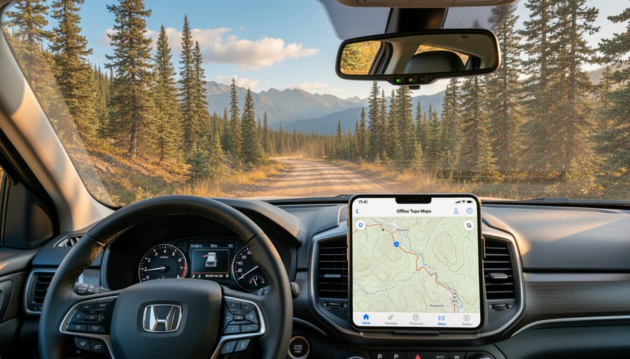
When roads get rough or service disappears, Gaia GPS delivers with topographic maps that work completely offline. It’s saved us from wrong turns on unmarked forest service roads more times than we can count.
RV Life Trip Wizard solves the routing nightmare of traveling between parks in a big rig. It factors in your RV’s height and weight to avoid low clearances and weight-restricted bridges that standard GPS ignores.
The official NPS App provides real-time park conditions and ranger program schedules once you arrive, while Weather Underground gives hyperlocal forecasts crucial for mountain parks where conditions change fast. Round out your toolkit with Gas Buddy for fuel savings on those long interstate stretches between parks.
How We Chose These National Parks Apps
We’ve spent countless miles testing road trip apps across dozens of national parks visits, and we learned quickly that not all navigation and planning tools hold up when you’re 50 miles from the nearest cell tower with a 32-foot RV in tow. Our selection criteria emerged from real challenges we’ve faced on the road, from finding RV-friendly campsites near Yellowstone to navigating forest service roads outside Great Smoky Mountains.
Here’s what we looked for when evaluating each app:
- Offline functionality that works when cell service disappears in remote areas
- RV-specific routing that accounts for height, weight, and propane restrictions
- Accuracy in national parks with current trail conditions and road closures
- User reviews from fellow RV families who’ve actually tested these routes
- Ease of use while driving, with interfaces simple enough for quick reference
- Value for families traveling full-time without breaking our monthly budget
We prioritized apps that solve specific problems rather than trying to do everything poorly. The best road trip app for national parks isn’t necessarily the most expensive or feature-packed. It’s the one that delivers reliable information exactly when you need it, whether that’s finding a safe overnight spot between parks or confirming your RV will clear a tunnel entrance. Our years of full-time RVing taught us that simplicity and reliability beat complexity every time, especially when you’re managing kids, pets, and a house on wheels.
Quick Comparison: National Parks Road Trip Apps
We tested all eight apps on actual national parks road trips with our family, and this comparison table shows the core features at a glance. We’ve included what matters most when you’re navigating remote park areas: whether the app works without cell service, what it costs, and the one feature that sets it apart.
| App Name | Best For | Offline Mode | Pricing | Standout Feature |
|---|---|---|---|---|
| Campendium | Finding campsites near parks | Limited | Free | Crowdsourced cell signal reports |
| Gaia GPS | Backcountry navigation | Full | $39.99/year | Detailed topographic maps |
| RV Life Trip Wizard | Multi-park route planning | No | $4.99/month | RV-specific routing with height/weight |
| NPS App | Official park information | Partial | Free | Real-time ranger program schedules |
| AllStays Camp & RV | Overnight stops between parks | Yes | $14.99 one-time | Walmart and rest area database |
| OnX Offroad | National forest exploration | Full | $29.99/year | Property boundaries and road ratings |
| Gas Buddy | Fuel savings on long drives | No | Free | Trip cost calculator for RVs |
| Weather Underground | Mountain weather forecasting | Limited | Free | Hyperlocal high-elevation forecasts |
We found that combining three or four of these apps gives you complete coverage. For most families, starting with Campendium, Gaia GPS, and the NPS App creates a solid foundation, then adding others based on your specific rig and travel style.
1. Campendium: Find Hidden Camping Gems Near Every Park
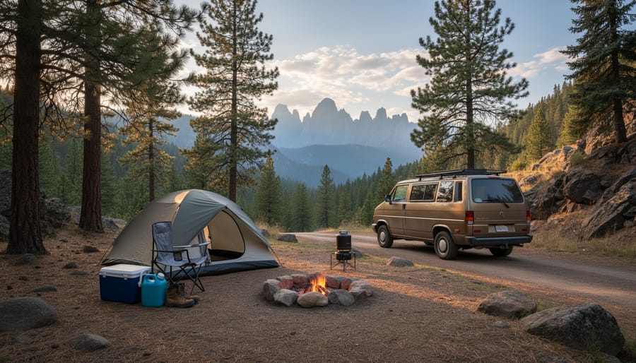
We discovered Campendium three years ago when traditional campground booking sites left us circling a full Zion National Park with nowhere to stay. The app’s crowdsourced database pointed us to a stunning BLM dispersed site just fifteen minutes from the park entrance, complete with recent photos showing our exact RV length could fit and a cell signal report confirming we’d have enough coverage for work calls. That find sold us completely.
Campendium thrives on real camper contributions. Every listing includes user-uploaded photos from multiple angles, so you see the actual site conditions rather than promotional shots. The cell signal reports break down coverage by carrier, critical when you’re working remotely or need to check weather updates. We’ve saved countless hours by filtering for sites that accommodate our 32-foot fifth wheel and checking recent reviews for road condition updates after spring snowmelt.
The free version gives you full search and browsing capability. The premium membership adds offline map downloads and removes ads, worth it when you’re bouncing between Glacier, Yellowstone, and Grand Teton without reliable service. The app covers everything from developed national park campgrounds to obscure forest service sites to that random pullout locals use near Arches.
What sets Campendium apart is the community honesty. Users report when roads have washed out, when “level” sites actually require serious leveling blocks, or when a once-quiet spot now fills by noon. Before heading to any national park, we check Campendium first, read the five most recent reviews, and download screenshots of the directions. It’s eliminated the stress of wondering where we’ll sleep after a long driving day, letting us focus on the adventure instead.
2. Gaia GPS: Navigate Backcountry Roads with Confidence
Our verdict: Essential for RV families who venture beyond paved roads to access remote national park campgrounds and trailheads.
We’ve relied on Gaia GPS countless times when forest service roads were our only route to dispersed camping near parks like Great Basin and North Cascades. The app’s topographic maps show terrain details that standard navigation apps completely miss, critical when you’re deciding whether that unmarked road can actually accommodate your 28-foot rig.
The offline download capability proved invaluable during our week exploring Escalante’s backcountry access points. We downloaded detailed maps of the entire region before leaving town, then navigated confidently through areas where our phones showed zero bars. The interface displays elevation changes, which helped us avoid routes with grades too steep for our towing capacity.
Route recording became our safety net. We track every new road we explore, creating a digital breadcrumb trail that shows exactly how to return to the highway. This feature also lets us share successful routes with other RV families, we’ve sent our tested path to Cathedral Valley in Capitol Reef to dozens of readers who asked whether their rigs could make it.
The learning curve is steeper than basic GPS apps, but the premium membership (around $40 annually) quickly pays for itself in peace of mind. One wrong turn down an impassable forest road costs far more in stress and potential damage than a year’s subscription. For families who camp beyond the designated campgrounds, Gaia GPS transforms uncertainty into confident exploration.
3. RV Life Trip Wizard: Plan Multi-Park Routes That Fit Your Rig
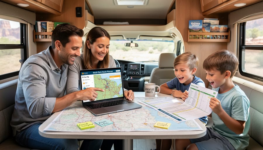
We tested RV Life Trip Wizard during our month-long western national parks loop, and it’s the only planner we found that actually understands what routing an RV means. Unlike Google Maps, which once tried sending our 32-foot fifth wheel down a dirt forest road with 11-foot clearances, Trip Wizard factors in your rig’s exact dimensions before suggesting a single turn.
You input your RV’s height, weight, length, and propane restrictions once, then the app automatically flags problematic routes. Planning our circuit from Zion to Bryce Canyon, Grand Canyon North Rim, and back through Capitol Reef, we avoided three low bridges and one weight-restricted mountain pass that standard GPS would have cheerfully directed us toward. The peace of mind alone justifies the subscription.
The fuel cost estimator proved surprisingly accurate. We entered our motorhome’s MPG, and Trip Wizard calculated expenses for different route options. Choosing the slightly longer but flatter highway route through Arizona saved us $140 in diesel over the mountain shortcut, which the app predicted would burn significantly more fuel on steep grades.
What impressed us most was the drag-and-drop interface for building custom loops. We wanted to hit five Utah parks in logical order while spending no more than four hours driving per day. Trip Wizard let us rearrange stops, suggested campgrounds between parks, and showed total trip mileage for each configuration. We found a route that minimized backtracking and kept our eight-year-old from melting down in the back seat.
The app syncs across devices, so my partner could review the route on their phone while I drove. It’s not perfect for finding dispersed camping, but for planning safe, efficient multi-park routes that won’t strand your RV under a too-low overpass, it’s essential.
4. NPS App: Official Park Info in Your Pocket
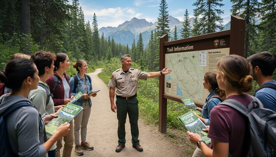
We found the official National Park Service app to be indispensable once we actually arrive at a park, even though it won’t help you navigate there. Think of it as your digital ranger station that travels with you.
The app’s real strength lies in its real-time alerts and updates. We’ve avoided closed roads, full parking lots, and trail hazards by checking the app each morning before heading out. During our visit to Yellowstone, an alert about a bear closure near Storm Point Trail popped up just as we were packing our hiking gear, saving us a wasted drive across the park. These notifications come straight from park staff, so they’re current and trustworthy.
What we particularly appreciate is the ranger program schedule. Each park loads its daily activities, including guided walks, campfire talks, and junior ranger events. Our kids love earning junior ranger badges, and the app shows exactly where and when to attend programs. We’ve discovered ranger-led tide pool explorations and evening astronomy sessions we’d have completely missed without this feature.
The interactive maps within each park help orient you to visitor centers, trailheads, and facilities, though they’re not meant for backcountry navigation. Trail condition updates appear regularly, noting recent maintenance, seasonal closures, or current difficulty levels due to weather.
One limitation: the app requires an internet connection for most features. Download individual park content before you lose cell service, though updates obviously require reconnecting. We typically refresh everything while we’re at a visitor center with WiFi before heading into more remote areas of each park. It’s free and covers every NPS site, making it an automatic download for any national parks road trip.
5. AllStays Camp & RV: Locate Overnight Stops Between Parks
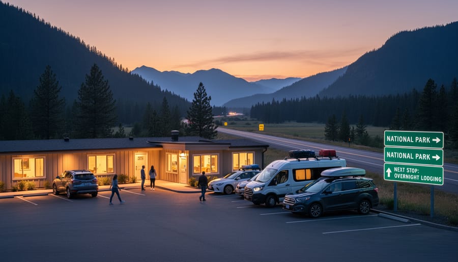
During our first cross-country national parks trip, we learned the hard way that perfect park-to-park days don’t always exist. Sometimes Glacier is 380 miles from Yellowstone, and you’re towing a 30-foot trailer with two tired kids asking “are we there yet?” That’s when AllStays Camp & RV became our lifesaver.
We tested AllStays extensively on multi-park loops where the gaps between destinations forced us to find safe, convenient overnight stops. The app’s comprehensive database covers everything: full-hookup RV parks, Walmart parking lots that welcome overnight guests, truck stops with RV spaces, casino parking, and rest areas where overnight parking is legal. When we needed to break a long haul from the Grand Canyon to Zion into two reasonable driving days, AllStays showed us three Walmart options and a quiet casino parking area in Mesquite, Nevada that we never would have known about.
What sets AllStays apart is the detail. Each listing includes current user reviews, photos, specific rules about overnight parking, and whether generators are allowed. We’ve used it to find free overnight spots at Cracker Barrel restaurants, confirm which rest areas permit extended stays, and locate last-minute RV parks when our original campground was full.
The crowd-sourced updates keep information current. Fellow RVers report when a Walmart changes its policy or when a truck stop gets too crowded. The filters let us search by amenities we actually need: dump stations, propane, or just a flat parking spot for the night.
For $10 annually, AllStays pays for itself the first time it helps you avoid an expensive emergency hotel or sketchy roadside pullout.
6. OnX Offroad: Explore National Forest Roads Safely
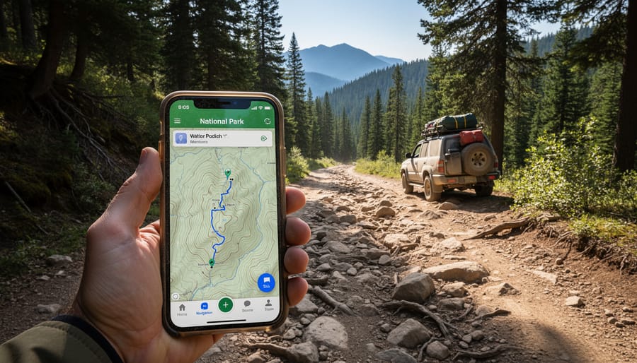
We stumbled onto OnX Offroad by accident after a ranger mentioned a “killer dispersed site” accessible via a forest service road near Glacier National Park, but gave us zero directions beyond “head west on FR 486.” The app turned what could’ve been a navigational nightmare into a confident adventure.
OnX Offroad shines for RV families because it maps every forest service road, BLM route, and spur track surrounding national parks, complete with difficulty ratings that help you decide whether your rig can handle it. The property boundary overlays are brilliant: they show exactly where national forest land ends and private property begins, so you’re not accidentally trespassing when you pull off to camp. We’ve used this feature dozens of times to find legal overnight spots on forest roads just outside park boundaries, where crowds thin and the stars multiply.
The offline maps download seamlessly before you leave cell range, and the road difficulty ratings, from passenger car to high-clearance 4×4, kept us from attempting routes our 25-foot travel trailer had no business exploring. We could see which spurs were graded gravel versus rocky two-track, saving us from backing out of tight situations. The app also layers in recent user reviews mentioning downed trees, washed-out sections, or newly gated roads, which proved invaluable in the Rockies where conditions shift with every storm.
Battery drain is real since the app uses GPS continuously, so we kept our phones plugged into the truck’s USB port and carried a backup power bank. The subscription runs around $100 annually, but we split the cost with another RV family by screen-sharing routes during planning sessions, totally worth it for accessing those hidden corners of public land that most visitors miss.
7. Gas Buddy: Save on Fuel During Long Park-to-Park Drives
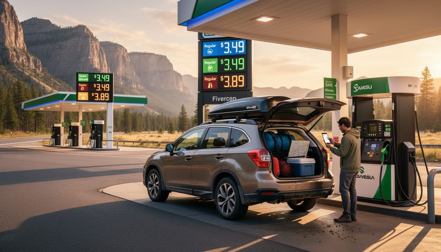
When you’re hauling a 30-foot RV between Yellowstone and Grand Teton, fuel costs aren’t just a line item, they’re a major expense that can derail your budget fast. We found GasBuddy indispensable for finding the cheapest diesel along our route, often saving $20-40 per fill-up simply by planning stops strategically.
The app’s real-time crowdsourced pricing proved remarkably accurate across the rural West. Before leaving a park, we’d check stations along our planned route and adjust our fuel stop accordingly. Sometimes driving an extra fifteen miles to a reservation border town meant filling our 100-gallon tank for significantly less than the tourist-trap station right outside the park entrance.
GasBuddy’s trip cost calculator became part of our route planning alongside easy meal planning. We’d input our multi-park route and immediately see projected fuel expenses, which helped us decide whether to take the scenic but longer route or stick to highways. For families budgeting everything from fuel to camping meals knowing you’ll spend roughly $180 versus $240 on fuel matters.
The premium version removes ads and offers extra features, but the free app delivered everything we needed. Over a three-week circuit through Utah’s Mighty Five, we estimate GasBuddy saved us around $150, money that went toward better campsites and park entrance fees instead of fuel markups.
8. Weather Underground: Stay Ahead of Mountain Weather
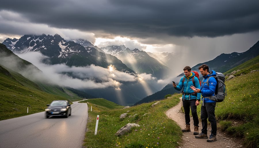
Weather makes or breaks a national parks trip, and we learned that lesson the hard way in Glacier when a surprise afternoon thunderstorm rolled in while we were halfway up a trail with the kids. Since then, Weather Underground has become our go-to forecasting tool, and it’s proven far more accurate than generic weather apps for the high-elevation, unpredictable conditions you encounter in mountain parks.
What sets Weather Underground apart is its hyperlocal reporting from personal weather stations. In places like Rocky Mountain or Yosemite, you’ll often find stations near trailheads or campgrounds that give you actual conditions at that specific elevation, not just the forecast for the nearest town 3,000 feet lower. We check it every morning to decide whether today’s the day for that big hike or if we should pivot to a lower-elevation activity.
The severe weather alerts have saved us more than once. The app sends push notifications for rapidly changing conditions, which is critical in parks where afternoon storms develop quickly. Before committing to a full-day hike, we pull up the hourly forecast and scrutinize the wind speeds and precipitation chances. If we see building clouds by noon, we know it’s time to turn around.
The interface shows multiple forecast models side by side, which helps when planning several days ahead. We’ve used this feature to time our arrival at parks, shifting our itinerary by a day to hit better weather windows. For families with young kids, being able to confidently plan outdoor days means less disappointment and safer adventures.
Essential App Features for National Parks Travel
When we tested dozens of road trip apps across multiple national parks adventures, certain features proved essential while others were just nice extras. Here’s what actually matters when you’re planning a parks-focused RV trip.
- Offline Functionality
- The ability to download maps, campsite information, and trail data before you lose cell service. This feature is non-negotiable in national parks where connectivity disappears the moment you leave gateway towns.
- RV-Specific Routing
- Navigation that accounts for your rig’s height, weight, and length to avoid low clearances, weight-restricted bridges, and roads too narrow for safe passage. Standard GPS routing can lead RVs into dangerous situations that smaller vehicles handle easily.
- Campground Database Integration
- Comprehensive listings of established campgrounds, dispersed camping areas, overnight parking, and booking links so you can reserve national park camping and find backup options when parks fill up. Real user reviews and photos help you assess sites before arrival.
- Real-Time Conditions and Alerts
- Live updates on road closures, weather warnings, wildlife activity, and park capacity that help you adjust plans before driving hours toward an inaccessible destination. Mountain weather changes fast, and conditions reported yesterday may not reflect today’s reality.
Look for apps that layer these features together rather than excelling at just one. An app with brilliant topographic maps but zero campground data forces you to juggle multiple tools, draining your phone battery faster in areas where charging opportunities are limited. The best national parks apps we tested handled at least two of these core functions well, reducing the number of apps you need open simultaneously while navigating unfamiliar mountain roads with kids asking “are we there yet?” from the back.
Making the Most of Your App Collection
Having eight apps installed is one thing, using them together seamlessly on a national parks road trip is another. We’ve learned through experience that a bit of upfront organization transforms a cluttered phone into a powerful travel toolkit. Here’s how we make our app collection work harder for us on the road.
- Download all offline maps for your planned route and backup areas while you still have Wi-Fi at the RV park or your home base. Set aside thirty minutes the night before departure, don’t wait until you’re already in spotty coverage zones.
- Create folders on your home screen organized by trip phase: one for “Planning” (Trip Wizard, Gas Buddy), another for “On the Road” (Gaia GPS, AllStays), and a third for “At the Park” (NPS App, Weather Underground). This saves frantic scrolling when you need information quickly.
- Enable airplane mode with Wi-Fi on when using offline features. This prevents your phone from constantly searching for cell towers, which drains battery faster than almost anything else in remote areas.
- Charge a portable battery pack every night and keep your phone plugged into the RV’s USB port while driving. We also dim screen brightness to 50% or lower, those detailed topo maps are visible even at reduced brightness.
Cross-reference between apps instead of duplicating effort. When Campendium shows a promising dispersed site, we immediately drop a waypoint in Gaia GPS and check OnX for property boundaries. If Weather Underground predicts afternoon storms, we adjust our RV Life route to arrive at the next park earlier than planned.
Share your routes with travel partners before you split up for the day. Most apps let you export GPX files or share location links, invaluable when hiking separate trails or when one rig scouts ahead for the group.
Common Questions About Road Trip Apps for National Parks
We’ve fielded dozens of questions from families gearing up for their first national parks road trip, and most concerns revolve around the same practical issues. Here’s what you need to know before you hit the road.
Do I need cell service for these apps to work?
Most apps we recommend offer offline map downloads that work without any signal, Gaia GPS, OnX Offroad, and the NPS app all function in airplane mode once you’ve downloaded the necessary maps. We always grab offline data while still in town, then switch to airplane mode to save battery in remote areas.
Can I use these apps for national parks in Canada?
Gaia GPS and OnX Offroad cover Canadian parks with detailed maps, but apps like Campendium and AllStays have limited coverage north of the border. For Canadian trips, we supplement with the Parks Canada app and iOverlander for additional campsite intel.
How much phone storage do I need for offline maps?
Expect 2-5 GB per major park region depending on detail level and coverage area. We’ve found that 64 GB phones handle a full summer’s worth of downloads comfortably, but anything less gets tight when you’re storing multiple states worth of topographic maps.
Are the free versions of these apps enough, or should I pay for premium?
Free versions work fine for casual trips, but families traveling full-time quickly outgrow the limitations. We upgraded to premium on Gaia GPS and Campendium after our first month because the offline capabilities and detailed overlays proved essential in backcountry situations.
The best app combinations depend on your travel style, but we run Campendium and AllStays together for finding overnight spots, pair Gaia GPS with OnX Offroad for navigation on forest roads, and keep the NPS app handy once we’re inside park boundaries. This trio covers planning, navigation, and on-ground exploration without overlap or redundancy.
Important Reminder: Technology and Safety
We’ve relied on these apps countless times during our national parks adventures, but they’re tools, not substitutes for common sense and preparation. Cell service vanishes quickly once you leave major park roads, and GPS signals can bounce off canyon walls or disappear under dense forest canopy. We always download offline maps before entering remote areas, carry paper maps and a compass as backup, and tell rangers at visitor centers about our planned routes and timeline, especially when exploring backcountry areas with the kids.
Smart RV family planning means treating technology as one layer of safety, not the only one. We’ve seen too many families stranded because they assumed their phone would work everywhere, or they didn’t pack essentials like extra water and emergency supplies because an app said the trail was “easy.” The apps make exploring more accessible and enjoyable, but respecting the wilderness and preparing for when technology fails keeps your family safe.
The right apps haven’t replaced the magic of discovering national parks, they’ve just made it possible for more families to experience it. We’ve watched our kids marvel at geysers in Yellowstone and scramble over red rocks in Arches, and honestly, none of those moments would’ve happened without the digital tools that got us there safely and affordably.
Technology doesn’t diminish the adventure. It removes the barriers that used to keep families like ours from attempting these journeys. When we can find safe overnight spots between parks, navigate forest service roads without worry, and dodge unexpected road closures, we spend less time stressed about logistics and more time present for the sunrise over the canyon or the elk crossing the meadow.
Start with two or three apps that solve your biggest pain points, maybe navigation and camping for your first trip. Download your offline maps, charge your devices, and head out. The parks are waiting, and you’ve got the tools to explore them confidently. Your family’s national parks story starts the moment you decide technology is a companion for the journey, not a replacement for it.